Public Restrooms in Santa Clarita, California
100 public restrooms mapped in Santa Clarita, California. Find the nearest one on the interactive map below — filter by accessibility or baby change facilities.
Serving zip codes: 01387, 91322, 91350, 91351, 91354, 91355 and 2 more
Restroom locations sourced from municipal and community data. Browse all California restrooms. ·
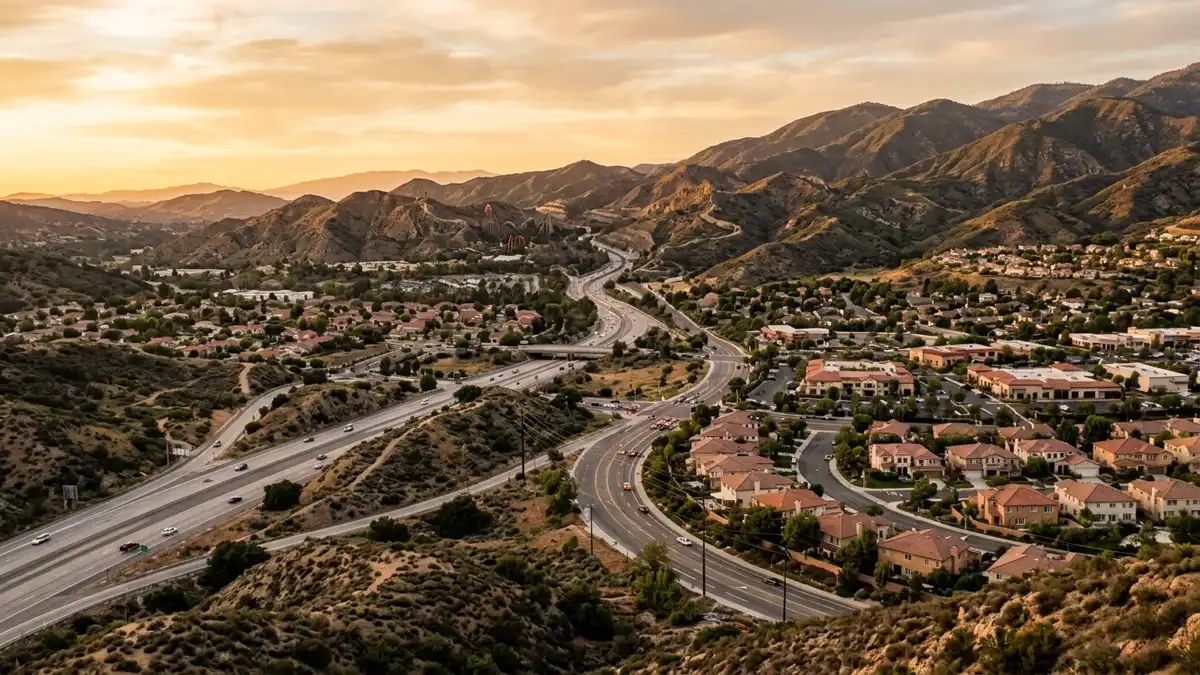
Interactive Map
100 restrooms and 4 attractions mapped in Santa Clarita
Use the toggles to add or remove layers · tap Find Me to see where you are on the map
Wheelchair Accessible Restrooms in Santa Clarita
10 verified wheelchair accessible restrooms mapped in Santa Clarita. Tap any location to see it on the map.
Accessibility verified from municipal data and community reports. Always confirm current access on arrival.
Newhall
Market Street, Los Angeles County, California, 91322, United States of America
Unnamed Toilet
Campground Road, Elayon, Los Angeles County, California, 91322, United States of America
Newhall
Market Street, Los Angeles County, California, 91322, United States of America
Unnamed Toilet
Campground Road, Elayon, Los Angeles County, California, 91322, United States of America
Unnamed Toilet
Campground Road, Elayon, Los Angeles County, California, 91322, United States of America
Unnamed Toilet
Campground Road, Elayon, Los Angeles County, California, 91322, United States of America
Unnamed Toilet
Black Pine Way, Los Angeles County, California, 91390, United States of America
Unnamed Toilet
Black Pine Way, Los Angeles County, California, 91390, United States of America
Unnamed Toilet
Black Pine Way, Los Angeles County, California, 91390, United States of America
Unnamed Toilet
Black Pine Way, Los Angeles County, California, 91390, United States of America
Restroom Directory
All 100 verified locations with accessibility details and directions.
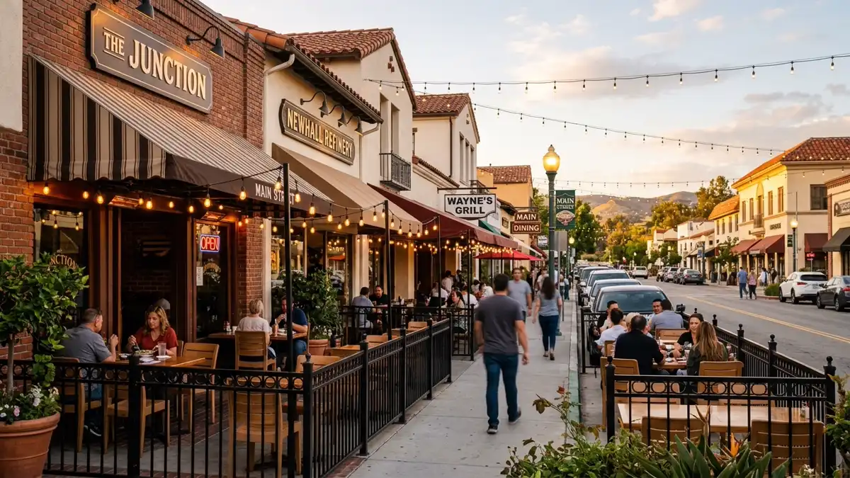
Where to Eat in Santa Clarita
166 restaurants and cafés mapped across Santa Clarita. Most have customer restrooms — tap "Map" to see nearby public facilities too.
IHOP
Restaurant · breakfast
24737 Pico Canyon Road
Coffee Been & Tea Leaf
Café
George's Bistro
Restaurant
Catch 21 Salad Bar & Grill
Restaurant · seafood
28263 Newhall Ranch Road
New Moon
Restaurant
Sushi One
Restaurant · sushi
28267 Newhall Ranch Road
+ 160 more restaurants and cafés on the map above
Popular Attractions in Santa Clarita
Top-rated spots with restroom access nearby. Tap "Show on Map" to find the closest facilities.
Placerita Canyon Nature Center
Tourist attraction · ⭐ 4.8
Historic sites, trails & a nature center. Wooded park features trails, picnic space, historic monuments & a nature center with regular events.
Hart Park
Tourist attraction · ⭐ 4.7
Farm animals, hiking trails & picnicking. This former ranch owned by a famed silent-film star is now a natural area with livestock & trails.
Whitney Canyon Park
Tourist attraction · ⭐ 4.7
Nature area with oak-shaded trails. 442-acre park offering hiking, biking & horseback riding trails through oak woods & along a creek.
Walk of Western Stars
Tourist attraction · ⭐ 3.7
A popular destination in Santa Clarita, California.
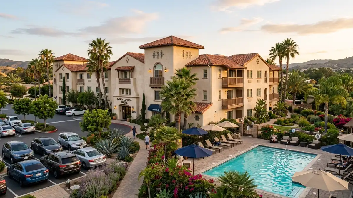
Where to Stay in Santa Clarita
10 hotels and motels near Santa Clarita. Each location is on the map above — tap "Map" to see nearby restrooms.
Mid-Range
Comfortable mid-range stays across Santa Clarita. Good value with walking distance to restaurants and public restrooms.
Fairfield Inn
hotel
25340 The Old Road
La Quinta Inn & Suites Santa Clarita - Valencia
hotel
25201 The Old Road
+1 661-286-1111
Hampton Inn
hotel
25259 The Old Road
+1 661-253-2400
Comfort Suites Near Six Flags Magic Mountain
hotel
25380 The Old Road
+1 661-505-6397
Travelodge Santa Clarita/Valencia
hotel
17843 Sierra Highway
Hyatt Regency
hotel
24500 Town Center Drive
+1 661-799-1234
Budget & Motels
Budget-friendly accommodation in Santa Clarita with nearby public restroom access.
Santa Clarita Motel
motel
24971 Railroad Avenue
Super 8 Santa Clarita
motel
17901 Sierra Highway
+1 661-252-1722
Nearby Cities with Mapped Restrooms
Drinking Water in Santa Clarita
20 public drinking water fountains mapped across Santa Clarita — mostly in parks and along trails. Combined with 100 public restrooms, you're covered for any outdoor activity.
Tip: Drinking water fountains are marked on the map above as cyan pins. Most are located near parks, trails, and public recreation areas. If you're walking, cycling, or running, plan your hydration stops using the map — tap any cyan pin for the exact location.
Frequently Asked Questions
Everything you need to know about finding public restrooms in Santa Clarita.