Public Restrooms in Riverside, California
198 public restrooms mapped in Riverside, California. Find the nearest one on the interactive map below — filter by accessibility or baby change facilities.
Serving zip codes: 92501, 92503, 92504, 92505, 92506, 92507 and 4 more
Restroom locations sourced from municipal and community data. Browse all California restrooms. ·
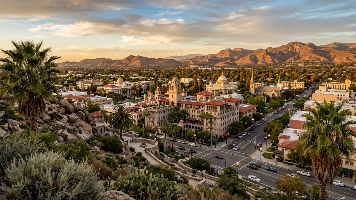
Interactive Map
160 restrooms and 4 attractions mapped in Riverside
Use the toggles to add or remove layers · tap Find Me to see where you are on the map
Wheelchair Accessible Restrooms in Riverside
8 verified wheelchair accessible restrooms mapped in Riverside. Tap any location to see it on the map.
Accessibility verified from municipal data and community reports. Always confirm current access on arrival.
Unnamed Toilet
Bartlett Avenue, Riverside County, California, 92501, United States of America
Unnamed Toilet
Redwood Drive, Riverside County, California, 92501, United States of America
Unnamed Toilet
Redwood Drive, Riverside County, California, 92501, United States of America
Unnamed Toilet
Bartlett Avenue, Riverside County, California, 92501, United States of America
Unnamed Toilet
Gibson Street, Riverside County, California, 92503, United States of America
Unnamed Toilet
Redwood Drive, Riverside County, California, 92501, United States of America
Unnamed Toilet
Redwood Drive, Riverside County, California, 92501, United States of America
Unnamed Toilet
Victoria Avenue, Riverside County, California, 92503, United States of America
Restroom Directory
All 198 verified locations with accessibility details and directions.
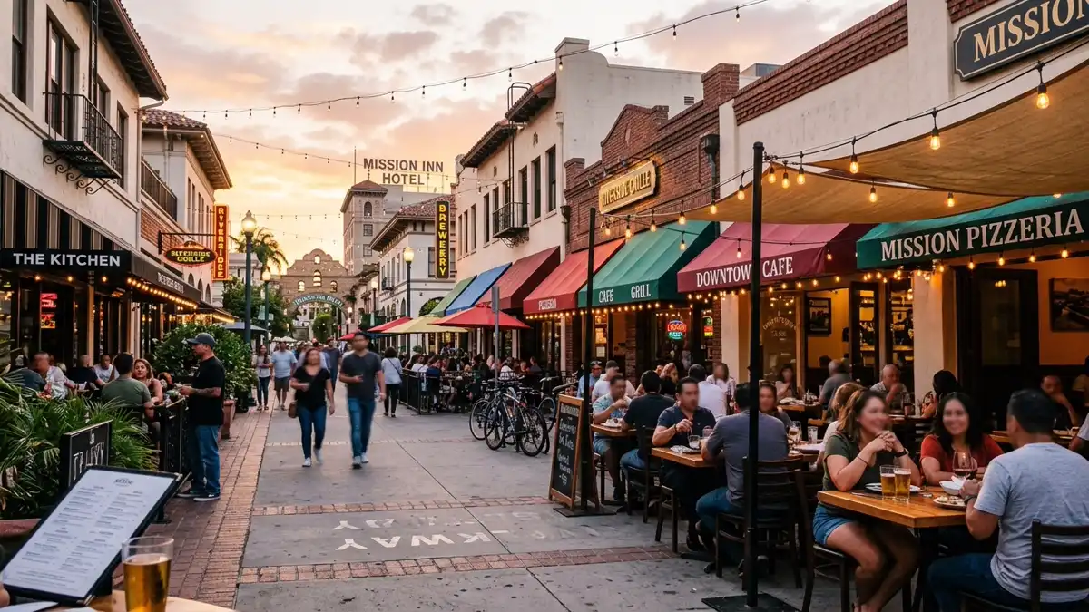
Where to Eat in Riverside
308 restaurants and cafés mapped across Riverside. Most have customer restrooms — tap "Map" to see nearby public facilities too.
Cocos
Restaurant
Starbucks
Café · coffee_shop
6390 Van Buren Boulevard
Starbucks
Café · coffee_shop
3782 Tyler Street
Norm's
Restaurant · american
El Torrito
Restaurant · mexican
Red Lobster
Restaurant · seafood
+ 302 more restaurants and cafés on the map above
Popular Attractions in Riverside
Top-rated spots with restroom access nearby. Tap "Show on Map" to find the closest facilities.
UC Riverside Botanic Gardens
Tourist attraction · ⭐ 4.7
Forty green acres open to tours. University's garden offers 40 leafy acres of 3,500+ plant species & 200+ bird types. Open daily.
California Citrus State Historic Park
Tourist attraction · ⭐ 4.7
Park dedicated to CA's citrus history. Park dedicated to preserving the history of California's great citrus boom of the 20th century.
Peace Tower
Tourist attraction · ⭐ 4.7
A popular destination in Riverside, California.
Fairmount Park
Tourist attraction · ⭐ 4.5
Rose gardens, lakes & a golf course. Serene park featuring picnic areas, rose gardens, lakes, rental pedal boats & a golf course.
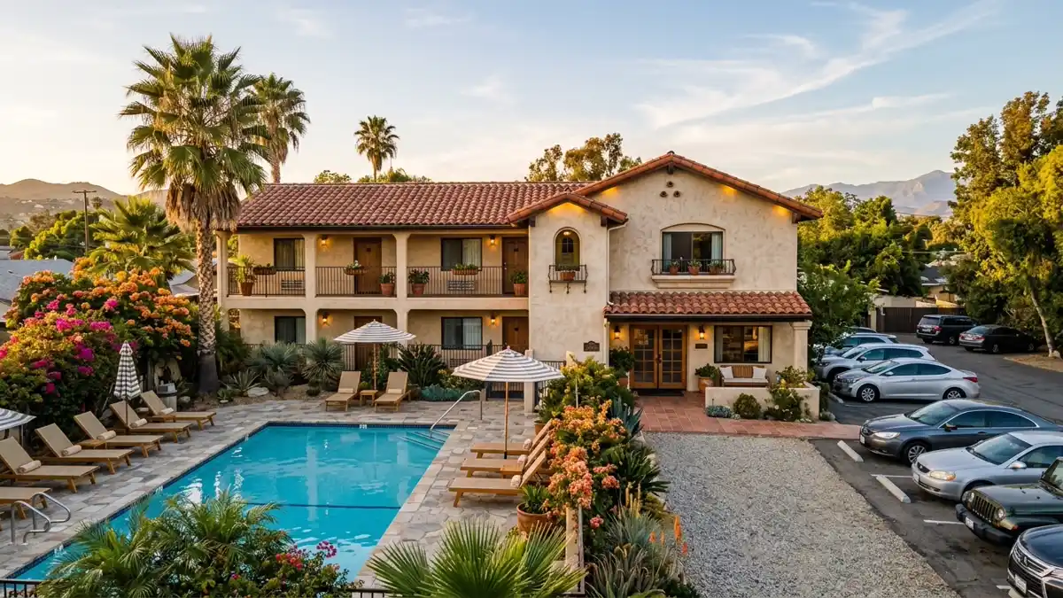
Where to Stay in Riverside
9 hotels and motels near Riverside. Each location is on the map above — tap "Map" to see nearby restrooms.
Luxury & Upscale
Upscale hotels in Riverside with premium amenities and convenient restroom access nearby.
Home2 Suites by Hilton Riverside Downtown
hotel
3870 5th Street
+1-951-344-3100
Mid-Range
Comfortable mid-range stays across Riverside. Good value with walking distance to restaurants and public restrooms.
Hampton Inn & Suites
hotel
4250 Riverwalk Parkway
+1 951-352-5020
Courtyard
hotel
1510 University Avenue
+1 951-276-1200
Hyatt Place
hotel
3500 Market Street
+1 951-321-3500
Hampton Inn
hotel
3505 Market Street
+1 951-788-5000
Days Inn by Wyndham Riverside Tyler Mall
hotel
10545 Magnolia Avenue
+1 951-358-2808
Ayres Hotel Corona East
hotel
2260 Griffin Way
Budget & Motels
Budget-friendly accommodation in Riverside with nearby public restroom access.
Econo Lodge Inn & Suites
motel
11043 Magnolia Avenue
+1 951-688-5000
Rodeway Inn
motel
10518 Magnolia Avenue
Nearby Cities with Mapped Restrooms
Drinking Water in Riverside
104 public drinking water fountains mapped across Riverside — mostly in parks and along trails. Combined with 198 public restrooms, you're covered for any outdoor activity.
Tip: Drinking water fountains are marked on the map above as cyan pins. Most are located near parks, trails, and public recreation areas. If you're walking, cycling, or running, plan your hydration stops using the map — tap any cyan pin for the exact location.
Frequently Asked Questions
Everything you need to know about finding public restrooms in Riverside.