Public Restrooms in Pasadena, California
120 public restrooms mapped in Pasadena, California. Find the nearest one on the interactive map below — filter by accessibility or baby change facilities.
Serving zip codes: 91011, 91101, 91102, 91103, 91104, 91105 and 6 more
Restroom locations sourced from municipal and community data. Browse all California restrooms. ·
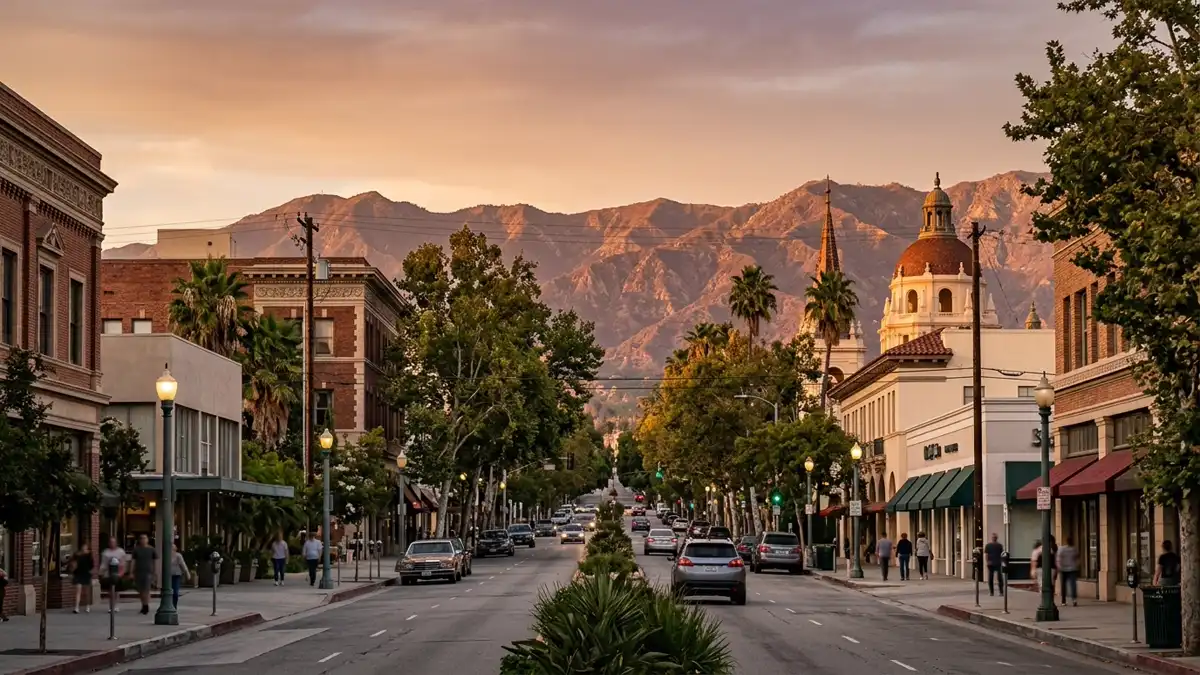
Interactive Map
95 restrooms and 4 attractions mapped in Pasadena
Use the toggles to add or remove layers · tap Find Me to see where you are on the map
Wheelchair Accessible Restrooms in Pasadena
6 verified wheelchair accessible restrooms mapped in Pasadena. Tap any location to see it on the map.
Accessibility verified from municipal data and community reports. Always confirm current access on arrival.
Unnamed Toilet
North Wilson Avenue, Los Angeles County, California, 91104, United States of America
Unnamed Toilet
Arroyo Boulevard, Los Angeles County, California, 91184, United States of America
Unnamed Toilet
Arroyo Boulevard, Los Angeles County, California, 91184, United States of America
Unnamed Toilet
Arroyo Boulevard, Los Angeles County, California, 91184, United States of America
Unnamed Toilet
East Orange Grove Boulevard, Los Angeles County, California, 91107, United States of America
Unnamed Toilet
Arroyo Boulevard, Los Angeles County, California, 91184, United States of America
Restroom Directory
All 120 verified locations with accessibility details and directions.
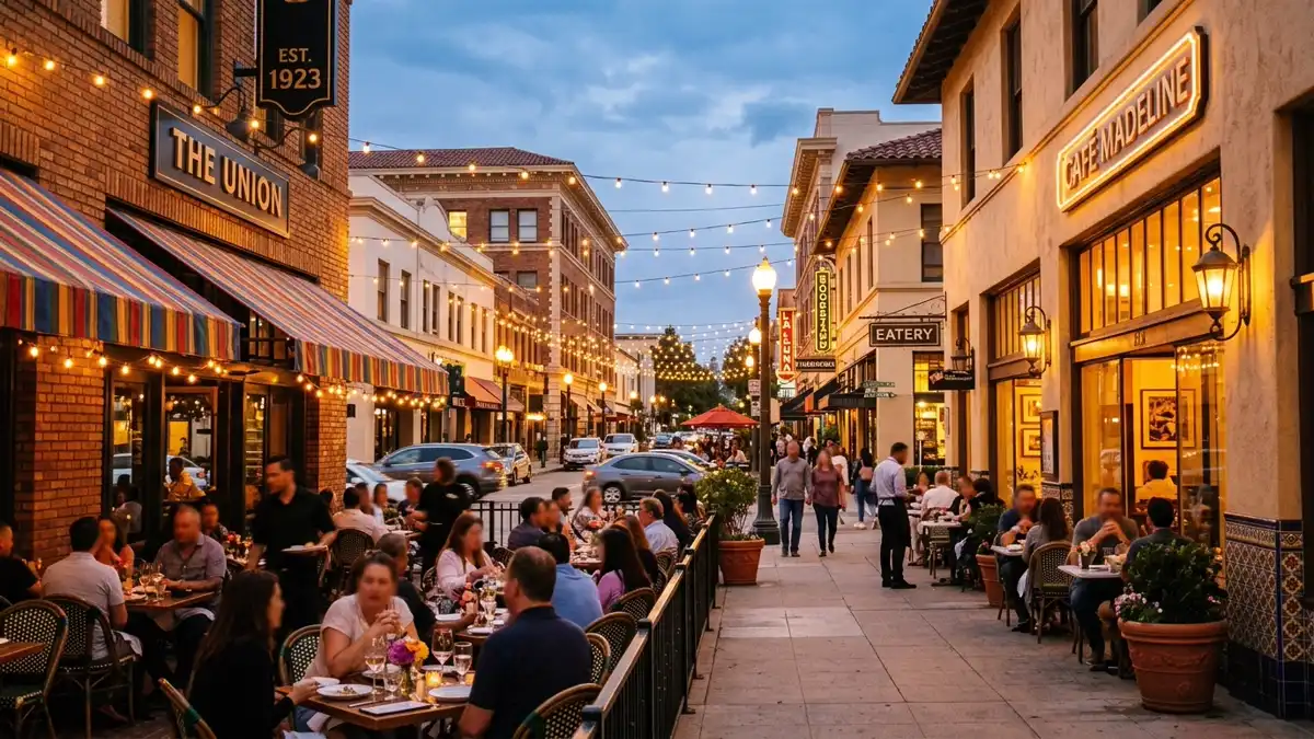
Where to Eat in Pasadena
395 restaurants and cafés mapped across Pasadena. Most have customer restrooms — tap "Map" to see nearby public facilities too.
Starbucks
Café · coffee_shop
230 South Rosemead Boulevard
Klatch Coffee
Café · coffee_shop
3007 Huntington Drive
Starbucks
Café · coffee_shop
3429 East Foothill Boulevard
Bella Italia
Restaurant · italian
Clearman's Galley
Restaurant · american
7215 Rosemead Boulevard
Starbucks
Café · coffee_shop
3699 East Foothill Boulevard
+ 389 more restaurants and cafés on the map above
Popular Attractions in Pasadena
Top-rated spots with restroom access nearby. Tap "Show on Map" to find the closest facilities.
Old Pasadena
Tourist attraction · ⭐ 4.6
Historic shopping & entertainment area. Downtown historic district, now a popular destination for shopping, dining & entertainment.
The Gamble House
Tourist attraction · ⭐ 4.8
Landmark Arts & Craft-style residence. Guided tours showcase this architecturally significant 1908 home designed by Charles & Henry Greene.
Wrigley Mansion
Tourist attraction · ⭐ 4.7
1906 Renaissance mansion & gardens. A 1906 Renaissance design mansion with 4.5 acre flower gardens & HQ for new year Rose Parade.
Pasadena Museum of History
Tourist attraction · ⭐ 4.4
Cultural hub with exhibits & tours. Museum with tours, research library & archives devoted to the history & culture of the region.
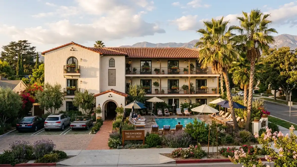
Where to Stay in Pasadena
21 hotels and motels near Pasadena. Each location is on the map above — tap "Map" to see nearby restrooms.
Luxury & Upscale
Upscale hotels in Pasadena with premium amenities and convenient restroom access nearby.
Hilton
hotel
168 South Los Robles Avenue
Mid-Range
Comfortable mid-range stays across Pasadena. Good value with walking distance to restaurants and public restrooms.
The Langham Huntington
hotel
1401 South Oak Knoll Avenue
+1-626-568-3900
Hotel Dena
hotel
303 Cordova Street
+1 626-469-8100
Rose & Crown Hotel
hotel
1203 East Colorado Boulevard
+1 626-449-3170
Travelodge
hotel
2131 East Colorado Boulevard
+1 626-796-3121
Howard Johnsons
hotel
1599 East Colorado Boulevard
+1-626-808-4500
Best Western Pasadena Inn
hotel
3570 East Colorado Boulevard
+1 626-796-9100
Budget & Motels
Budget-friendly accommodation in Pasadena with nearby public restroom access.
Pasada
motel
3625 East Colorado Boulevard
Super 8
motel
2863 East Colorado Boulevard
+1 626-449-3020
Saga Motor Hotel
motel
1633 East Colorado Boulevard
+1 626-795-0431
Rodeway Inn & Suites Pasadena
motel
2860 East Colorado Boulevard
+1 626-792-3700
Nearby Cities with Mapped Restrooms
Drinking Water in Pasadena
49 public drinking water fountains mapped across Pasadena — mostly in parks and along trails. Combined with 120 public restrooms, you're covered for any outdoor activity.
Tip: Drinking water fountains are marked on the map above as cyan pins. Most are located near parks, trails, and public recreation areas. If you're walking, cycling, or running, plan your hydration stops using the map — tap any cyan pin for the exact location.
Frequently Asked Questions
Everything you need to know about finding public restrooms in Pasadena.